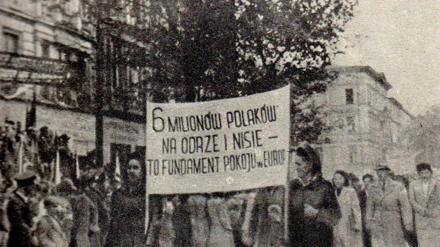
How the Medieval Piast Concept Was Weaponized to Shift Poland 200 Miles West
Conceived by right-wing nationalists, the medieval Piast Concept was co-opted by communists in 1945 to justify moving Poland's borders 200 miles west.
Explore where standard geographical intuition breaks down: places where traveling south enters a northern country, or where time zones skip whole days.
Conceived by right-wing nationalists, the medieval Piast Concept was co-opted by communists in 1945 to justify moving Poland's borders 200 miles west.

In May 1919, Allied warships escorted Greek troops into Smyrna. Forty months later, an ancient cosmopolitan civilization dissolved into ash and sea.
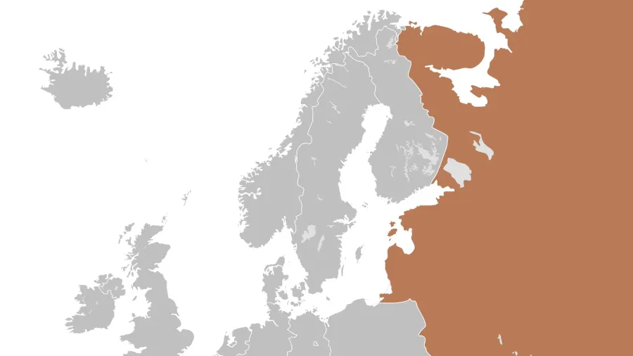
In 1945, Soviet forces severed Carpathian Ruthenia from Czechoslovakia through orchestrated political committees, redrawing Central European borders overnight.

Enclaved within Selangor, Kuala Lumpur transformed from a nineteenth-century tin outpost into an autonomous federal enclave anchoring Southeast Asian commerce.
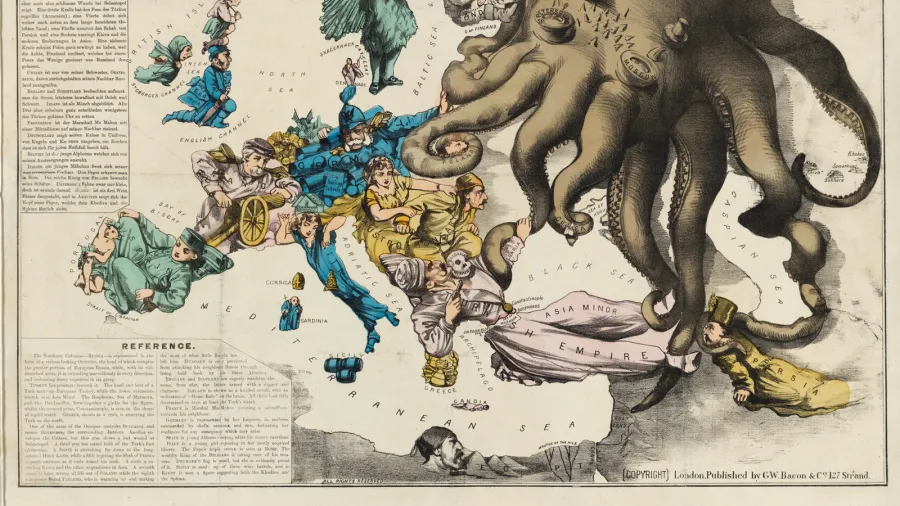
Throughout modern history, mapmakers used strategic distortions, emotive symbols, and deceptive projections to persuade minds and advance geopolitical agendas.