· History & Civilization · 4 min read ·
Tazrut: The Forgotten Mountain Fortress of the Early Fatimid State
Perched above the valleys of northeastern Algeria, the citadel of Tazrut served as the first fortified sanctuary for the founders of the Fatimid Caliphate.
Seven kilometers northwest of Aïn Mellouk, in the rugged highlands of Algeria’s Mila province, a rocky prominence known as Kaf Tazrut rises to an altitude of 1,002 meters. From this height, the view extends north across the gorges of the Oued El-Rhumel toward the coastal Babors and south across the sweeping plains of the Hauts-Plateaux toward the distant Aurès Mountains. Today the site contains weathered stone walls and rock shelters, but in the late ninth century, this summit served as the initial base of an empire that would conquer North Africa and rule from Cairo.
In 893 CE, the mountain stronghold was established as the primary fortified base and Dar al-Hijra for the missionary Abū ʿAbd Allāh al-Shīʿī. Sent from Yemen by Isma’ili leaders, Abū ʿAbd Allāh traveled into the Little Kabylie mountains to spread his religious and political movement among the Kutama Berbers. Meeting resistance in more populated settlements, he found refuge among sympathetic factions who offered him protection atop this defensible crag. The Berber toponym Tazrut, derived from ancient Amazigh roots meaning large rock or rocky outcrop, described both the physical geography and the military character of the position.
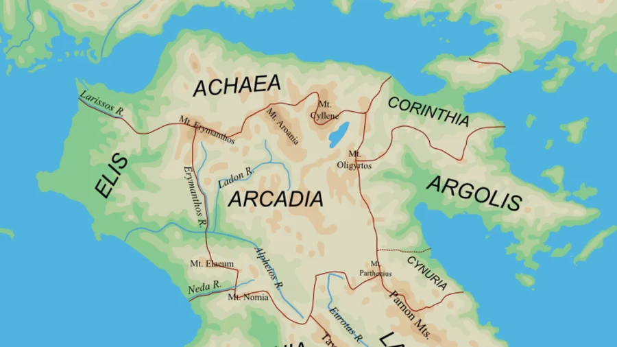
 Figure 1: Historical cartography detailing the expansion of the Fatimid Caliphate across North Africa from its origins in the Algerian highlands.
The strategic geography of Kaf Tazrut
The choice of Tazrut reflected calculated military geography. Situated between the river basins of the Oued El-Rhumel and Oued Er-Redjas, approximately thirty kilometers southwest of Constantine, the mountain formed a natural bastion. Access to the summit was restricted to narrow trails that could be defended by a small force against the regional governors of the Aghlabid dynasty ruling from Kairouan.
For nine years, Tazrut functioned as the political center and sacred sanctuary of the embryonic Fatimid state. Within this highland retreat, Abū ʿAbd Allāh trained Berber recruits, organized civic administration, and built a cohesive army from disparate Kutama clans. Contemporary chroniclers like Al-Qadi al-Nu’man recorded that the fortress provided the ideological anchor for the movement, transforming scattered tribal grievances into a unified military campaign against Aghlabid garrisons.
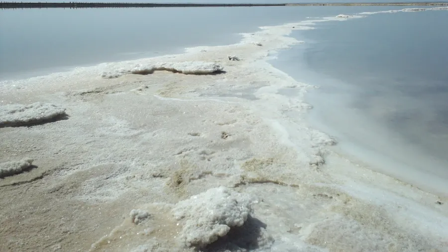
 Figure 2: Topographical relief map of northern Algeria highlighting the mountainous plateau country of Mila province where Tazrut was established.
The transfer to Ikjan and the march to empire
By the autumn of 902 CE, the military power centered at Tazrut had outgrown the restricted confines of its summit redoubt. With thousands of Kutama warriors organized under his command, Abū ʿAbd Allāh transferred the official seat of the movement to the larger fortress of Ikjan, located deeper in the Babor Mountains to the north. From Ikjan, the revolutionary forces launched an offensive across the central Maghreb, taking Sétif, Mila, and Constantine in rapid succession.
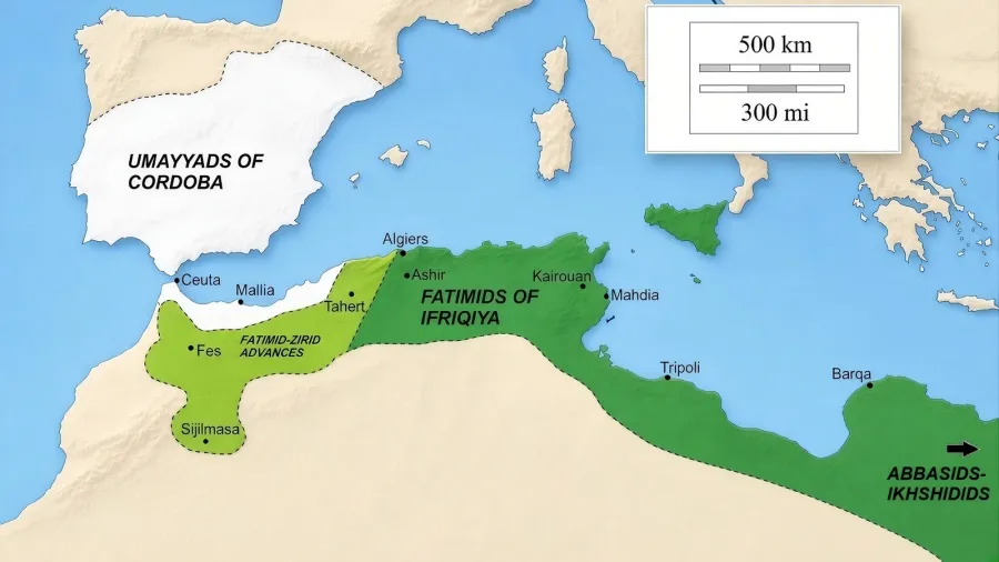
Within seven years of leaving Tazrut, the Kutama armies overthrew the Aghlabid dynasty in 909 CE, capturing Kairouan and installing Abdallah al-Mahdi Billah as the first Fatimid caliph. The state conceived on an isolated peak in Mila eventually expanded across Egypt, Syria, and the Hijaz, creating one of the major Mediterranean empires of the Middle Ages.
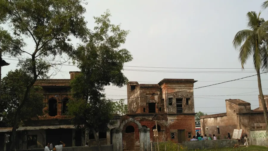
 Figure 3: Overview map showing the geographic reach of the Fatimid Empire at its peak across the Mediterranean basin.
Archaeological remnants on the crag of Mila
Following the relocation of the court to Ikjan and later coastal capitals, Tazrut gradually reverted to an agricultural outpost. Archaeological surveys conducted by regional researchers, including Ammar Nouara, have identified Numidian rock carvings, medieval defensive perimeter stones, and underground water cisterns cut directly into the limestone cliffs near Mechtat Aïn Bezzat. These structural remains corroborate the descriptions left by medieval historians like Ibn al-Athir and Al-Maqrizi.
Today, the site of Tazrut remains inscribed on Algeria’s register of protected cultural property. The stone foundations and dry masonry perimeters offer a silent record of the decisive decade when an isolated mountain in the Algerian interior altered the political trajectory of the medieval Islamic world.