· History & Civilization · 2 min read ·
Euryteiae: The Forgotten Inland Sanctuary of Ancient Achaea
Ancient Euryteiae served as an inland refuge in northern Peloponnese when citizens abandoned the classical city of Olenus during antiquity.
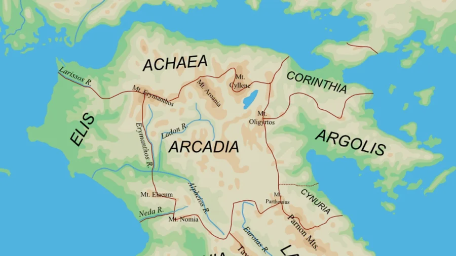
Along the northern rim of the Peloponnese, classical geography records an intricate network of fortified poleis, inland hamlets, and coastal sanctuaries. Among these settlements stood Euryteiae, an ancient village in Achaea situated in the rural territory surrounding Olenus. While major urban centers like Patras and Corinth dominated political treatises, smaller inland redoubts shaped the regional demographic reality of the Corinthian Gulf during antiquity.
Olenus originally ranked among the twelve historic member cities of the ancient Achaean League. Positioned near the mouth of the Peiros River, the city commanded fertile coastal flats. However, escalating geopolitical strain, military incursions, and internal economic decline eventually undermined Olenus, forcing its population to abandon the municipal center. Historical sources document that the fleeing citizens migrated inland toward defensible rustic sanctuaries, among which Euryteiae served as a primary destination.
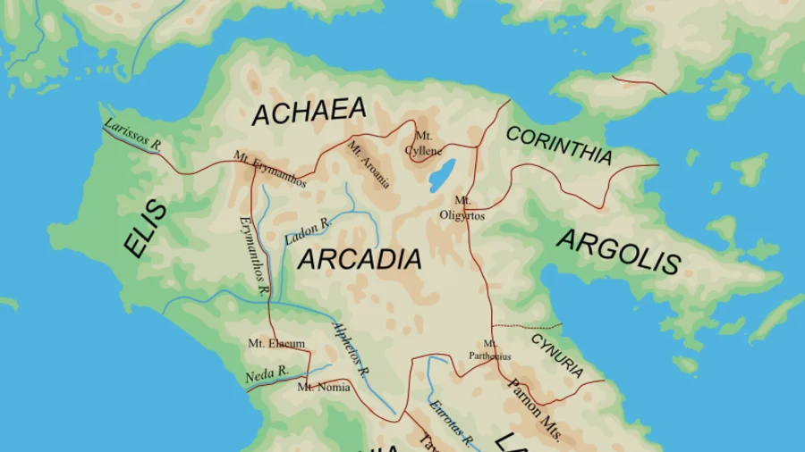
 Figure 1: Territorial map of the ancient Peloponnese outlining the northern borders of Achaea and adjacent territories, preserved in cartographic archives.
The dispersal from Olenus into peripheral hamlets like Euryteiae illustrates a recurring pattern in Peloponnesian history. When maritime vulnerability or military campaigns threatened lowland urban spaces, classical populations leveraged rural topography. Moving inland into elevated valleys allowed communities to preserve civic customs, maintain agrarian output, and avoid immediate coastal raids.
Geographers such as Strabo and Pausanias documented the subsequent decline of Olenus, observing that several constituent communities across Achaea dissolved into smaller settlements over the centuries. In this regional context, Euryteiae absorbed fleeing lineages, sustaining local cult practices and pastoral survival during a critical era of territorial reorganization.
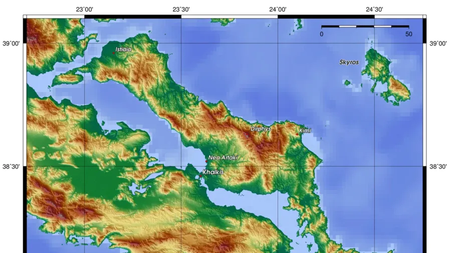
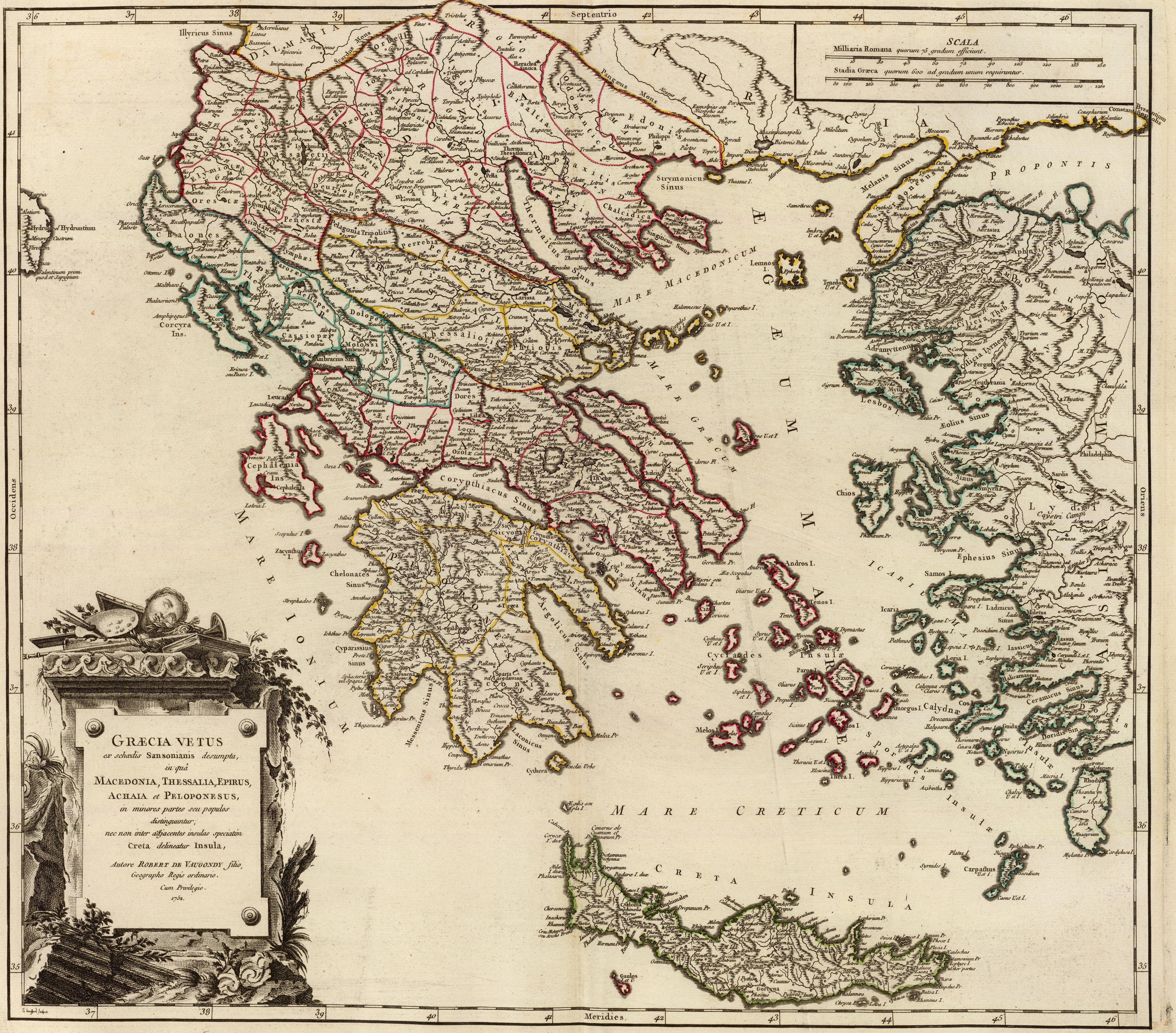 Figure 2: Historical cartography of classical Greece by Robert de Vaugondy illustrating the urban networks of Achaea and the Gulf of Corinth.
Today, the precise architectural remains of Euryteiae lie layered beneath centuries of agricultural cultivation and sedimentation in western Achaea. Modern field surveys continue to examine how minor satellite settlements preserved Greek civic structures when larger coastal poleis collapsed. Euryteiae remains an instructive historical case of rural absorption and resilience across the classical landscape.