· Street View & Routes · 4 min read ·
Rezang La: The Himalayan Ridge That Halted an Invasion
Perched above 5,000 meters in eastern Ladakh, Rezang La witnessed one of modern military history's fiercest high-altitude mountain defenses.
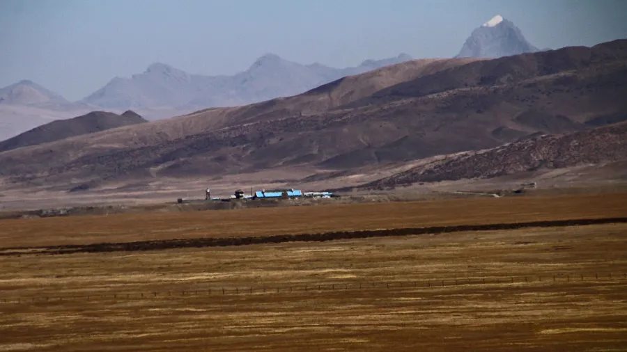
Rising to more than 5,000 meters above sea level in the Trans-Himalayan region of Ladakh, the desolate ridge of Rezang La commands one of Central Asia’s most contested frontiers. To the west lies the broad, high-altitude basin of the Chushul Valley, where a critical Indian military airstrip sits on open ground. Immediately to the east, the terrain drops steeply toward the salt-crusted shores of Spanggur Lake in Tibet. For over six decades, this razor-sharp watershed has formed the friction point between two nuclear-armed Asian powers, marking both the outer perimeter of territorial control and the site of an extraordinary military last stand.
The ridge contains three distinct high-altitude passes. Running northwest to southeast, geographers distinguish Old Rezang La at 33°26′38″N, 78°49′48″E, the central pass of Rechin La at 33°24′52″N, 78°52′29″E, and a third gap approximately three kilometers southeast known in Chinese cartography as Rezang La II. Across these barren crests, where oxygen levels drop to half of those at sea level and winter temperatures plummet past minus thirty degrees Celsius, the Line of Actual Control remains actively disputed. China asserts that the boundary follows the highest crests of the watershed ridge, while India maintains historical claim lines extending further eastward into the Spanggur basin.
 Figure 1: The barren, windswept ridge of Rezang La rising above 5,000 meters in eastern Ladakh. Photo: Narender9 (CC BY-SA 3.0).
In late 1962, this remote topographical divide became the focal point of the Sino-Indian War. The strategic prize was the Chushul airstrip, an installation capable of supporting heavy transport aircraft and securing all of south-eastern Ladakh. To guard the southern approach through the Spanggur Gap, the Indian Army deployed Charlie Company of the 13th Battalion, Kumaon Regiment, under the command of Major Shaitan Singh. The unit, comprising 120 soldiers recruited largely from the Ahir community of Haryana, dug defensive positions along the frozen crest of Old Rezang La.
The position suffered from severe tactical isolation. A high intervening crest blocked the company from the sight of friendly artillery batteries in the Chushul Valley, denying the defenders indirect fire support. The frozen ground resisted pickaxes, forcing the infantrymen to construct breastworks from loose granite slabs. When the Chinese People’s Liberation Army launched a concerted assault before dawn on November 18, 1962, attacking through deep ravines under the cover of blinding snowstorms, the 120 defenders stood entirely on their own small-arms fire and localized mortars.
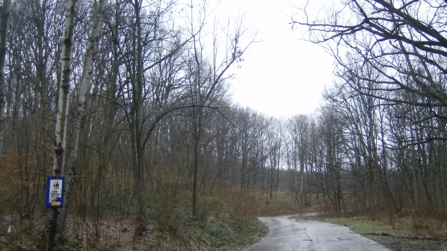
 Figure 2: Historical topographic survey map of the Spanggur Lake basin and the watershed ridge bordering Chushul Valley. Cartography: US Army Map Service (Public domain).
Historical records and battlefield recovery reports indicate that the confrontation unfolded at point-blank range. Despite human wave tactics and concentrated artillery bombardment, the Kumaon soldiers held their trenches for hours. Surging through heavy fire, Major Shaitan Singh moved continuously between platoons to coordinate defensive volleys until he was mortally wounded. By mid-morning, 114 Indian soldiers had fallen at their posts. Yet their defense inflicted massive casualties on the assaulting formations, blunting the momentum of the Chinese offensive toward Chushul.
The tactical stand at Rezang La proved to be the decisive final engagement of the 1962 conflict in the western sector. Upon securing the ridge line, which corresponded to Beijing’s declared territorial claim, the Chinese government announced a unilateral ceasefire across the theater. When Indian patrol parties reached the snow-covered battlefield three months later after the winter thaw, they discovered frozen soldiers still clutching their rifles in their stone bunkers, documenting a defense conducted literally to the last bullet.
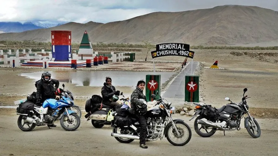
 Figure 3: The Rezang La War Memorial near Chushul, honoring the 120 soldiers of 13 Kumaon who held the ridge in November 1962. Photo: Hinduculture (CC BY-SA 4.0).
The strategic importance of this ridgeline did not end in 1962. During the tense border standoff of 2020 and 2021, the passes of Rezang La and Rechin La again emerged at the center of military maneuvers. Indian special forces scaled the heights in a swift nighttime operation, taking control of the dominating ridgelines to neutralize forward Chinese armored deployments around Spanggur Lake. Decades after the initial fighting, the desolate pass continues to stand as a stark monument to the power of geography in shaping national destinies and military doctrine.