· Street View & Routes · 5 min read ·
Passo della Limina: The Mountain Threshold of Calabria
Rising 822 meters above sea level, Passo della Limina forms the geological divide separating the Aspromonte massif from the Serre Calabresi in southern Italy.
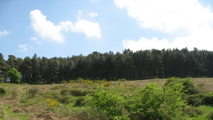
Across the narrow peninsula of southern Calabria, where the Italian landmass constricts between two seas, the southern Apennine chain fractures into distinct crystalline massifs. At an elevation of 822 meters above sea level, Passo della Limina marks the exact physical boundary separating the granite plateaus of the Serre Calabresi to the north from the rugged metamorphic dome of the Aspromonte to the south. This mountain saddle is both an orographic threshold and a continental drainage divide, splitting rainfall toward either the Tyrrhenian Sea to the west or the Ionian Sea to the east.
The pass occupies a critical saddle between the municipal territories of Cinquefrondi and Mammola in the Metropolitan City of Reggio Calabria. Rising immediately south of the pass is Monte Limina at 888 meters, providing clear vistas on cloudless mornings that stretch across the Gioia Tauro plain to the volcanic cone of Mount Etna in Sicily and the Aeolian archipelago. While contemporary travelers often pass directly beneath this terrain through a three-kilometer highway tunnel, the surface pass preserves millennia of trans-peninsular migration, classical trade, and highland culture.
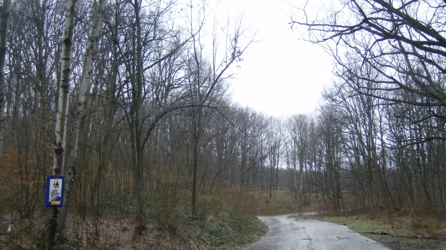
 Figure 1: View of the rugged Apennine crest near Passo della Limina, showing the geomorphological transition zone between the crystalline rocks of the Serre and Aspromonte.
The Etymology of a Continental Boundary
The name Limina carries deep linguistic resonance rooted in the ancient geography of southern Italy. Toponymists identify two plausible origins, both reflecting physical realities of the site. The primary derivation points to the Latin noun limen, meaning threshold, boundary, or entrance. Roman cartographers and provincial administrators recognized the pass as the formal dividing point between the central Calabrian highlands and the wild, isolated peninsula tip of the Aspromonte.
An alternate derivation originates in the ancient Greek word limne, referring to a marsh, swamp, or standing body of water. Historical records and local oral memory document that prior to the construction of twentieth-century highway infrastructure, an seasonal highland tarn collected rainwater directly on the saddle. During major civil engineering works for road connections, this shallow lake was drained and backfilled, altering the original hydrological feature while preserving its memory in local speech.
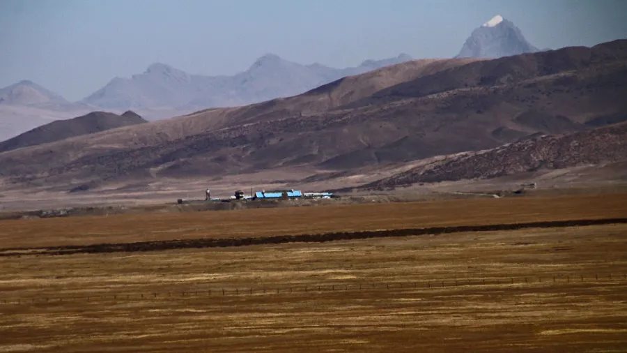
 Figure 2: The high mountain saddle at 822 meters, historically traversed by the Sentiero dei Greci to connect Locri on the Ionian Sea with the Tyrrhenian coast.
The Ancient Greek Highway
Long before modern asphalt crossed the Calabrian interior, Passo della Limina served as a strategic passage for classical antiquity. In the seventh century BCE, Greek colonists founded the powerful polis of Locri Epizephyrii along the southern Ionian coastline. To expand their commercial sphere toward the Tyrrhenian Sea and establish settlements at Medma and Hipponion, the Locrians required a direct overland transit corridor that avoided navigating the treacherous currents of the Strait of Messina.
The resulting trade artery, known historically as the Sentiero dei Greci (Path of the Greeks), ascended the Torbido river valley from the Ionian coast, crossed the crest precisely at Passo della Limina, and descended through the western foothills toward the Tyrrhenian basin. Pack trains carrying olive oil, grain, ceramics, and worked bronze negotiated this pass for centuries. The route allowed the Locrians to maintain trade connections and reduce travel times across the mountainous peninsula from days at sea to a single daylight crossing.
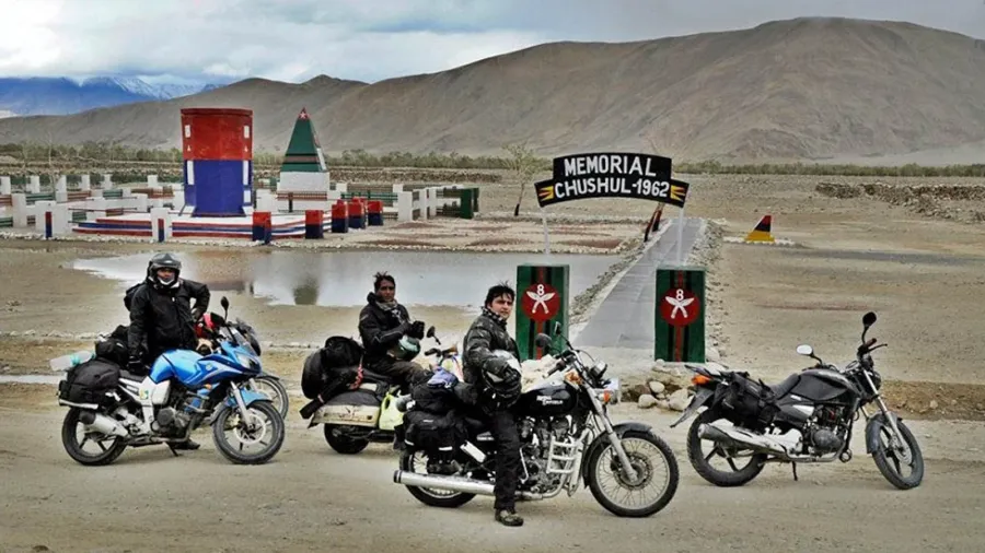
 Figure 3: Beech and chestnut forests flanking the ancient mountain pathways, which served as strategic corridors for shepherds, merchants, and regional travelers.
Monastic Hermitages and Pastoral Routes
Throughout the Middle Ages and early modern era, the dense beech and chestnut forests surrounding Passo della Limina provided quiet refuge for regional communities. By the ninth century, Basilian monastic hermits settled in the secluded ravines below the pass, including Saint Nicodemus of Mammola, whose nearby shrine in the Torbido valley remains an active cultural site.
During the nineteenth century, the pass served as an important junction along the regional mountain route known as the Sentiero del Brigante. Rural inhabitants and highland travelers utilized the complex mountain topography of Limina to travel between the Serre and the interior heights of Aspromonte. The trail served continuously as a traditional transhumance route, along which pastoralists guided sheep and cattle between highland summer meadows and lowland coastal winter pastures.
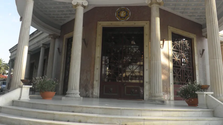
 Figure 4: The elevated plateau of Piani della Limina, where modern arterial transport routes cross beneath historical transhumance trails.
Modern Engineering and Ecological Convergence
The twentieth century transformed the physical isolation of the pass without erasing its natural role as a regional crossroads. For decades, the narrow, winding provincial road SP5 (formerly Strada Statale 281 del Passo di Limina) formed the sole vehicular link between the Gioiosa Ionica coast and the Tyrrhenian transit corridors at Rosarno. The steep curves tested early automobile engines and regularly experienced winter snowfall.
In the late twentieth century, engineers constructed the Strada Statale 682 Jonio-Tirreno, an expressway designed to bridge southern Calabria’s two coasts. Rather than climbing the exposed mountain slopes, the expressway pierces the massif directly beneath the pass via the 3.2-kilometer Galleria della Limina. This subterranean engineering project diverted heavy commercial traffic away from the delicate alpine environment of the pass itself.
Today, Passo della Limina stands preserved as a recreational and ecological corridor. The pass serves as the official transition marker between Aspromonte National Park and the Serre Regional Natural Park, functioning as stage 54 and 55 on the Club Alpino Italiano’s nationwide Sentiero Italia trail. It forms a key waypoint on the regional Ciclovia dei Parchi della Calabria, welcoming long-distance hikers and gravel cyclists who follow the old ridges where Greek merchants and Apennine shepherds once navigated the continental divide.