· Natural Wonders · 4 min read ·
The 230-Foot Waterfall Bursting Directly from a Hidden Mountain Cave in Georgia
High in the limestone ridges of Imereti, an underground river surges through flooded cavern lakes before plunging 230 feet down a sheer three-tiered cliff.
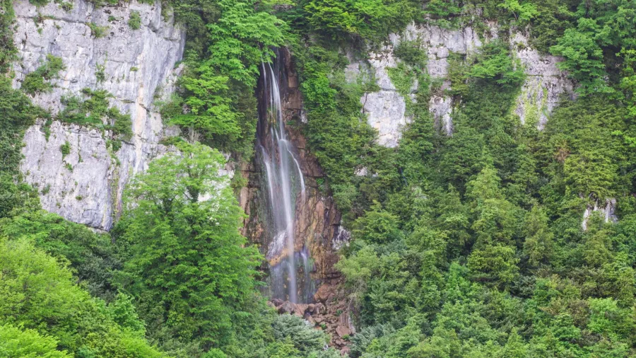
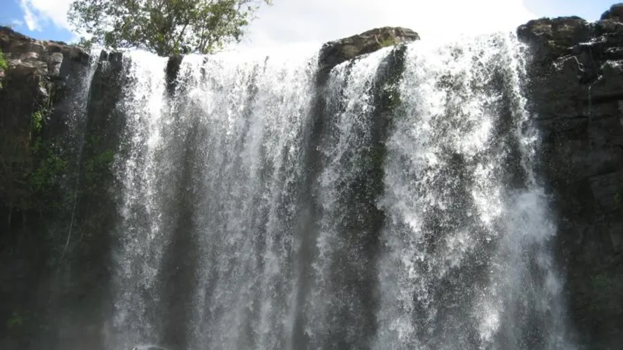
Deep inside the limestone bluffs of western Georgia, the sound of rushing water does not begin in an open river valley. It reverberates from the interior of a pitch-black subterranean cavern. At an elevation of 882 meters above sea level in the Tkibuli Municipality of Imereti, a powerful underground current cuts through miles of subterranean limestone before bursting directly out of an eastern cliff face. What emerges is Mukhura Waterfall, a dramatic three-tiered cascade that drops between 60 and 70 meters into a dense canopy of ancient broadleaf forest.
While most major waterfalls form when surface rivers spill over erosion-resistant rocky ledges, Mukhura functions as a subterranean pressure valve. The water discharging into the gorge originates inside a labyrinthine cave system, where darkness conceals two distinct subterranean lakes and an internal river known to regional villagers as Tskalmechkheri, meaning shallow water. This hidden hydraulic complex stores massive volumes of highland precipitation before propelling it across three distinct vertical steps into daylight.
 Figure 1: The multi-tiered cascade of Mukhura Waterfall pouring out of the cavern mouth on the eastern slope of Tkibuli Municipality. Photograph by Paata Vardanashvili, CC BY-SA 4.0.
The Mechanics of a Subterranean Outflow
The limestone geology of western Georgia ranks among the most karstified landscapes on Earth. Over millions of years, acidic rainwater permeated tectonic fractures in the highland plateaus of Imereti, dissolving the soluble carbonate bedrock to hollow out expansive subterranean drainage networks. At Mukhura, this geological dissolution created a natural drainage siphon that captures runoff across the surrounding ridges.
Inside the cavern, the water gathers in two subterranean reservoirs: a smaller upper basin and an expansive lower lake. Between them flows the Tskalmechkheri River, moving through darkness over polished stone channels before reaching the eastern precipice. When the river reaches the cave mouth, it does not trickle; it launches outward, striking intermediate limestone shelves to form a three-step plunge. The resulting 70-meter drop generates a continuous localized downdraft, driving dense clouds of cold water vapor deep into the surrounding woodland.
 Figure 2: Topographic relief map of Georgia showing the transition from the Black Sea basin into the rugged karst ridges of Imereti and the Greater Caucasus foothills. Wikimedia Commons.
A Dark Haven for Endemic Wildlife
The convergence of an underground river system, a humid cliff face, and an enclosed cave network creates an extreme microclimate with remarkable biological value. The interior cavern chambers maintain stable temperatures and high humidity year-round, making them an ideal roosting habitat for ten distinct species of bats. These flying mammals rely on the cavern ceiling for nursery colonies and hibernation, insulated from the harsh winter frosts of the Caucasus mountains.
Outside the cave mouth, the persistent spray from the 70-meter cascade nurtures a lush pocket of mixed broadleaf forest. The damp woodland floor and mossy limestone crevices provide a critical refuge for several rare and endemic small mammals. Among them is the Caucasian mole (Talpa caucasica), which tunnels through the rich alluvial soils deposited by the waterfall, and the Caucasian water shrew (Neomys teres), a semi-aquatic predator that hunts aquatic insects and larvae in the cold stream pools below the falls. The surrounding undergrowth also supports Volnukhin’s shrew (Sorex volnuchini), a tiny insectivore restricted to the moist montane forests of the Caucasus region.
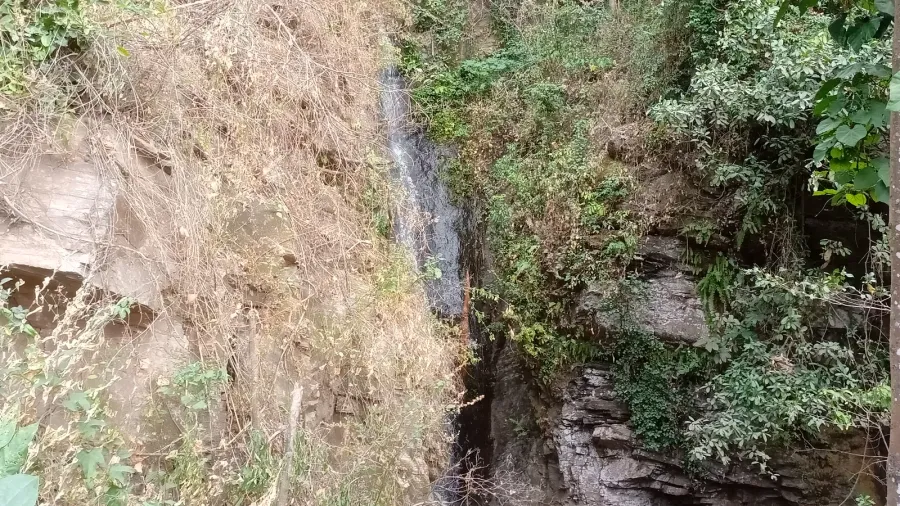
 Figure 3: Lush broadleaf forest hugging the limestone cliffs below Mukhura Waterfall, where perpetual spray sustains unique micro-habitats. Photograph by Paata Vardanashvili, CC BY-SA 4.0.
Protecting a Fragile Karst Sanctuary
Recognizing its rare combination of speleological, hydrological, and biological features, Georgia designated the site as the Mukhura Waterfall Natural Monument. Spanning roughly 0.25 square kilometers, the protected zone is managed by the Agency of Protected Areas under the Ministry of Environmental Protection and Agriculture of Georgia.
Karst hydrologic systems remain unusually vulnerable to human disturbance. Because water moves rapidly through dissolved underground channels without the natural sand and gravel filtration typical of surface rivers, any contamination or deforestation on the plateaus above can immediately degrade water quality and alter discharge rates at the cavern mouth. Ongoing scientific monitoring aims to ensure that the delicate subterranean lakes and the specialized endemic species sheltering within Mukhura continue to thrive in one of the Caucasus region’s most extraordinary natural sanctuaries.