· Natural Wonders · 7 min read ·
Bou Sra Waterfall: Cambodia's Highland Triple Cascade
Plunging through the basalt plateau of Mondulkiri, Bou Sra Waterfall forms a wild three-tiered torrent deep within Cambodia's eastern borderlands.
Act I: The Highland Divide
East of the central floodplains along the lower Mekong, the topography of Cambodia rises into the elevated plateaus of Mondulkiri Province. Spanning nearly fifteen thousand square kilometers, this rugged upland territory contrasts sharply with the low-lying alluvial plains that dominate the Cambodian interior. In Pech Chreada District, approximately forty-three kilometers northeast of the provincial capital of Sen Monorom and fifteen kilometers from the international boundary with Vietnam, the upland terrain drops abruptly into a dense drainage basin sculpted by water. Here, the river plunges across an ancient volcanic terrace, forming Bou Sra Waterfall.
Geographically, Mondulkiri represents the southwestern spur of the Central Highlands massif, an undulating upland system that straddles Cambodia and Vietnam. Perched at elevations between seven hundred and nine hundred meters above sea level, the plateau experiences a markedly cooler, mist-shrouded climate compared to the sultry tropical lowlands. Bou Sra commands preeminence across this highland wilderness as Cambodia’s most formidable cataract. Fed by the upstream headwaters of the regional river network that ultimately drains toward the Srepok and Mekong river basins, the waterfall channels runoff from dense mountain catchments, funneling massive volumes of water through a secluded forested chasm.
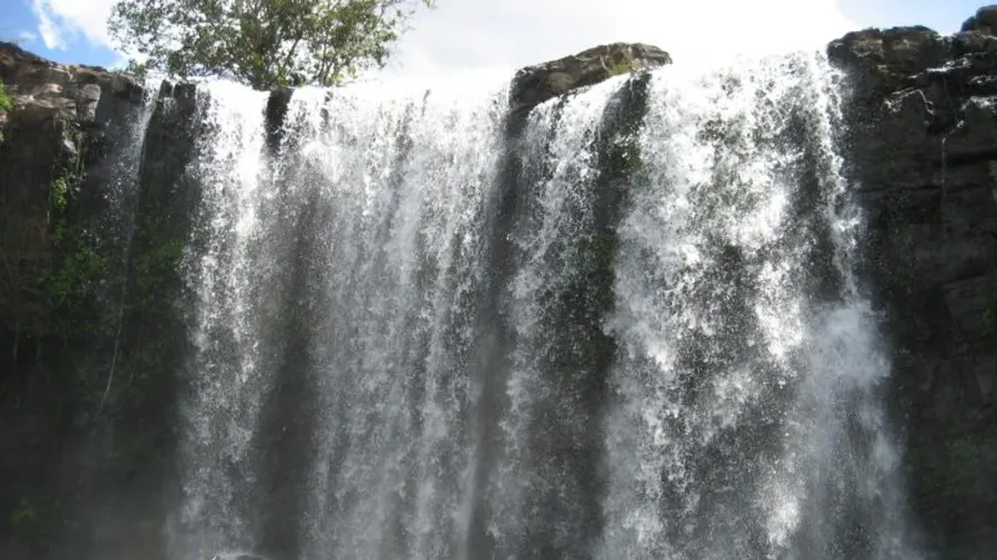
 Figure 1: The expansive second tier of Bou Sra drops over twenty meters across an amphitheater of volcanic rock.
Act II: The Hydrological Engine
The hydrology of Bou Sra operates along a tripartite stepped escarpment, where each successive tier exhibits distinct fluid dynamics and morphological characteristics. The first tier delivers an introductory descent, dropping between eight and twelve meters with a crest spanning fifteen meters across during the height of the summer monsoon. In the dry winter months, this upper threshold contracts into a narrower channel, pouring a focused curtain of water into a broad basaltic plunge pool below. Here, the water briefly decelerates before entering an intermediate bedrock channel. This turbulent flume runs roughly one hundred and fifty meters downstream across polished stone ledges, accelerating rapidly as it nears the rim of the principal chasm.
The second tier constitutes the dramatic visual and mechanical centerpiece of the cataract. Here, the gathered river hurtles over a sheer vertical precipice falling between fifteen and twenty-five meters, widening into a thundering sheet of white water that spans up to twenty meters across between July and October. The sheer kinetic energy striking the boulder-strewn canyon base atomizes the river into a perpetual plume of mist. This ambient fog generates a persistent microclimate that bathes the surrounding amphitheater. Air moisture remains saturated for dozens of meters outward, sustaining dense colonies of liverworts, lithophytic ferns, and moisture-dependent flora that carpet the sheer basalt walls.
Seasonal monsoon cycles dictate a dramatic visual metamorphosis at the waterfall. During the dry season from December to April, the river runs clear, taking on deep emerald and turquoise hues as lower volumes reveal the dark underlying rock formations. When the southwest monsoon breaks over the highlands, torrential rains wash volcanic soils from the forested plateau into the feeder streams. The cataract transforms into a churning, coffee-colored torrent of immense power, vibrating the ground and generating a deep auditory roar audible across the surrounding forest ridges.
Beyond the second tier lies the remote and inaccessible third drop. Plunging deeper into an untracked jungle defile, this lowest section drops with even greater speed over jagged cliffs. Because the canyon walls taper into nearly vertical ravines choked with dense tropical understory, no marked footpaths reach this lower gorge. Treacherous loose talus, rapid river currents, and dense bamboo thickets have preserved this tier in absolute isolation, allowing it to function as an undisturbed riparian haven for regional wildlife.
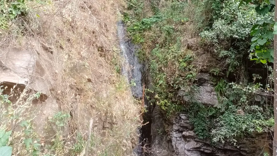
 Figure 2: Viewing areas along the gorge allow observers to witness the force of the downstream deluge.
Act III: The Basalt Chasm
The structural architecture of Bou Sra Waterfall originates in intense volcanic events that reshaped the Indochinese craton during the late Cenozoic period. Between the Miocene and Pleistocene epochs, fissure eruptions extruded vast sheets of basaltic lava across eastern Cambodia and the adjacent Central Highlands of Vietnam. These successive continental flood basalts cooled and solidified into dark, iron- and magnesium-rich igneous formations dozens of meters thick.
Over geological epochs, regional tectonic uplift gradually elevated the volcanic crust, exposing the flat-lying lava sheets to rigorous tropical weathering. The stepped profile of Bou Sra is a classic consequence of differential erosion across layered basalt flows. Natural vertical cooling joints formed columnar basalt structures, while horizontal interfaces between cooling episodes created planes of mechanical weakness. As water carved away softer sub-basaltic sediments and undercut the lower ledges, massive basalt columns collapsed along their vertical joints. This ongoing process of headward erosion carved the canyon and continually pushed the cataract upstream into the plateau.
The chemical breakdown of this basalt under humid highland conditions produced deep, fertile ferralsols and latosols. These characteristic red earth soils possess high porosity and rich mineral content, sustaining the dense semi-evergreen and dry deciduous dipterocarp forests that mantle the river gorge. Heavy root networks from towering hardwood trees bind the volcanic topsoil, reinforcing the steep ravine walls against the severe erosion caused by torrential equatorial rainfall.
 Figure 3: Bunong community members in traditional dress, whose ancestral heritage is tied to Mondulkiri’s highland ecology.
Act IV: Sacred Waters of the Bunong
Long before cartographers mapped modern administrative boundaries in eastern Cambodia, the cataract and its forested gorge formed a sacred geographic pillar for the indigenous Bunong people. The Bunong, an Austroasiatic highland society speaking a Bahnaric language, have lived across Mondulkiri’s rolling hills for generations. Central to Bunong cultural existence is an animist cosmology that perceives the physical world as saturated with spiritual presence. Prominent natural landmarks, ancient trees, and powerful water bodies are guarded by ancestral spirits known as neak ta.
Bou Sra is revered in Bunong tradition as a sacred sanctuary inhabited by potent water and forest spirits. Customary tribal law strictly regulated the community’s interactions with the gorge. Clearing timber, cultivating slopes, or hunting wildlife within the perimeter of the falls was taboo, ensuring the preservation of the surrounding spirit forest. Bunong elders conducted solemn ceremonies at the water’s margin, presenting offerings of rice wine from traditional ceramic jars alongside prayers for seasonal rainfall, abundant harvests, and protection against disease.
Beyond religious rites, the waterfall served as an essential auditory landmark for nomadic hunting parties and highland travelers moving through the dense interior. The thunderous rumble of the cataract provided a permanent orientation marker in an era before roads or compasses crossed the plateau. Bunong oral literature contains rich folklore regarding the falls, passing down ancestral tales that credit the formation of its stepped cliffs to mythic giants and primeval natural forces that ordered the highland world.
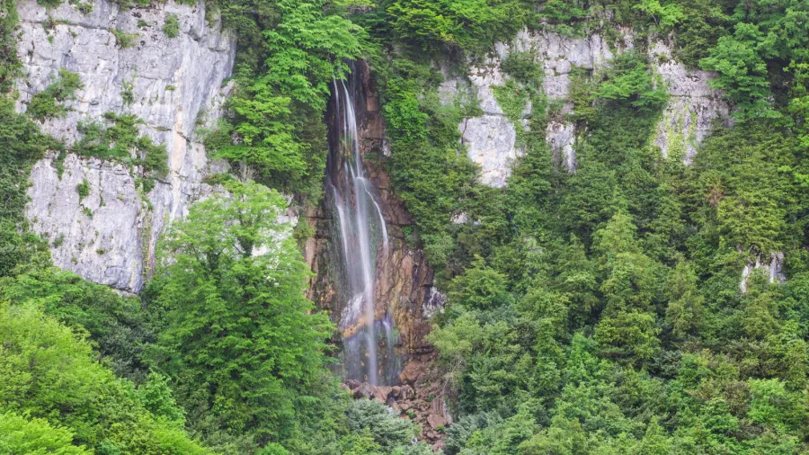
 Figure 4: The roaring waterway cuts a deep incision into the dense evergreen forest canopy.
Act V: Modern Frontiers and Preservation
Over recent decades, the remote frontier containing Bou Sra has undergone profound infrastructural modernization. Historically reached only via multi-day journeys over unpaved logging routes often rendered impassable by seasonal mud, the construction of paved provincial highways opened a direct transit corridor from Sen Monorom to the Vietnamese border. This enhanced connectivity catalyzed tourism, prompting the formal establishment of Bousra Eco Park. Modern infrastructure, including cantilevered observation platforms, safety railings, and wooden walkways, now enables travelers to observe the cascades safely while preventing unmanaged foot traffic from trampling fragile riparian vegetation.
However, greater access has introduced complex environmental challenges to the highland ecosystem. Mondulkiri’s upper watersheds face accelerating pressures from commercial cassava farming, rubber plantations, and frontier logging. Deforestation in the upstream catchment destabilizes local hydrology, amplifying sudden monsoon surges and diminishing baseline streamflow during dry periods. Preserving forest canopy cover across the headwaters remains essential for maintaining the hydrological equilibrium that sustains the waterfall year-round.
In response, local initiatives are uniting environmental conservation with indigenous cultural stewardship. Bunong community guides work within the park to educate regional and international visitors on traditional ecological knowledge, sustainable land practices, and forest preservation. By placing indigenous custody and environmental protection at the center of destination planning, Cambodia seeks to safeguard Bou Sra Waterfall as both an enduring geological wonder and a living symbol of highland cultural heritage.