· Castles & Palaces · 5 min read ·
Fort Mahon: The Solitary Vauban Sea Fortress of Ambleteuse
Constructed in 1680 by Vauban, Fort Mahon guards the Slack estuary as the only sea fort still standing intact between Cherbourg and the Belgian border.
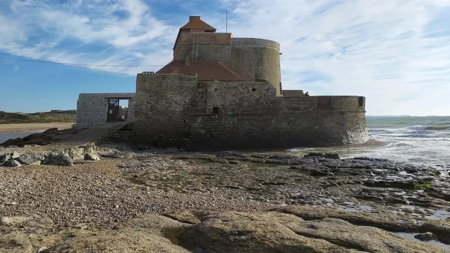
Along the windswept shoreline of the Opal Coast in northern France, where the English Channel narrows into the Strait of Dover, tides determine the boundary between land and sea twice each day. Rising directly from a submerged reef at the mouth of the Slack River estuary, Fort Mahon—also known historically as the Fort d’Ambleteuse or Fort Vauban—occupies a singular position in European historical architecture. It stands as the only coastal sea fort built by Sébastien Le Prestre de Vauban that remains preserved along the entire coastline stretching from Cherbourg to the Belgian border.
Commissioned in 1680 by King Louis XIV, the fortification was conceived to shield a strategic maritime anchorage along the northern Channel. At high tide, crashing waves isolate the masonry citadel into a freestanding island; at low tide, the receding waters reveal a rugged stone plinth resting upon marine bedrocks and shifting sandflats. While coastal bastions across northern Europe succumbed to wave scouring or land reclamation over the centuries, Fort Mahon survives through a rare combination of hydrodynamic geometry, resilient granite engineering, and twentieth-century civic preservation.
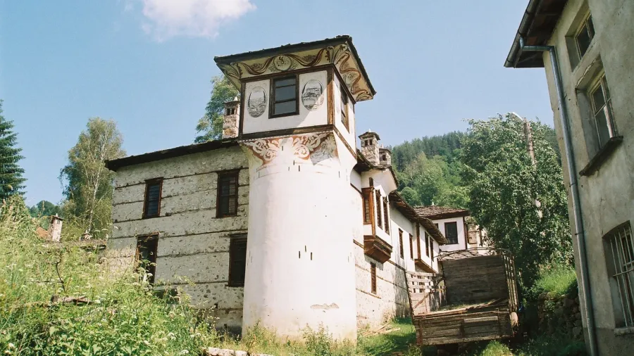
 Figure 1: The semicircular granite rampart and central artillery tower of Fort Mahon resting on the rocky foreshore during low tide.
The Regional Geography of the Slack Estuary
The decision to fortify Ambleteuse emerged from seventeenth-century geopolitical developments along the Channel. Following treaties that stabilized northern borders, Louis XIV sought to protect coastal anchorages, creating a network of fortified ports overseen by Vauban. While Boulogne and Calais possessed established urban citadels, the mouth of the shallow Slack River presented a sheltered natural inlet where maritime vessels could anchor protected from prevailing southwesterly winds.
Vauban recognized that marine structures required designs capable of resisting the relentless kinetic energy of open water. Conventional square or polygonal stone walls suffered severe damage when struck broadside by Atlantic swells. At Ambleteuse, Vauban discarded traditional angular layouts in favor of an adapted curved profile. Construction commenced around 1680 and concluded before 1690, placing an artillery redoubt on a tidal rock outcrop known locally as the Roc Noir, positioned to oversee the channel while deflecting storm waves around its curvilinear rampart.
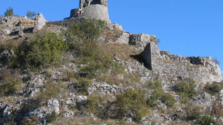
 Figure 2: Panoramic perspective across the Slack estuary flats, illustrating the fort’s maritime isolation as the sole surviving Vauban sea bastion along the northern French coastline.
Architectural Anatomy of a Tidal Bastion
The structural layout of Fort Mahon demonstrates Vauban’s mastery of low-profile engineering. The core of the complex consists of a two-story masonry tower enclosing an annular vaulted casemate, designed to accommodate a permanent garrison alongside storage chambers and freshwater cisterns. Encircling the seaward perimeter of the tower is a low-lying horseshoe rampart, paved in heavy granite and sandstone slabs. This seaward platform allowed gunners to direct low-trajectory coverage across the water surface.
To survive the corrosive saltwater environment, master masons assembled the exterior curtain wall from dressed sandstone quarried in the nearby Marquise hills, backed by dense limestone blocks mortared with hydraulic lime. A deep seawater moat surrounds the base, designed to flood during incoming tides and absorb the hydrodynamic impact of breaking surf. On the landward side, an enclosed courtyard is shielded by a redoubt wall with angled stone projections, protecting the entrance gate across the exposed low-tide sands.
Official seventeenth-century military inventories designated the site simply as the Tour d’Ambleteuse. The name Fort Mahon only appeared in governmental registries around 1840, likely resulting from an administrative transcription error by a clerk referencing Port Mahon in the Balearic Islands. Despite the bureaucratic confusion, local residents and regional cartographers continued referring to the structure as the Fort Vauban or the Old Fort.
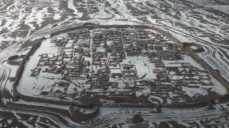
 Figure 3: Coastal dunes bordering the Slack nature reserve, where shifting sands and dynamic channel currents frame the 17th-century fortification.
Architectural Modifications Across Centuries
The architectural usage of the fort evolved across several centuries of French history. In the early nineteenth century under Napoleon Bonaparte, Ambleteuse served as an auxiliary maritime station, and the fort received upgraded stone platforms to oversee maritime traffic in the Channel. These modifications left enduring traces on the fortification’s upper viewing terraces.
In the mid-twentieth century, coastal forces occupied the structure and installed a reinforced concrete mezzanine inside the annular casemate, dividing the vaulted interior into two levels. While the masonry tower weathered heavy storms, marine detonations damaged sections of the outer seaward rampart near the end of the conflict in 1945.
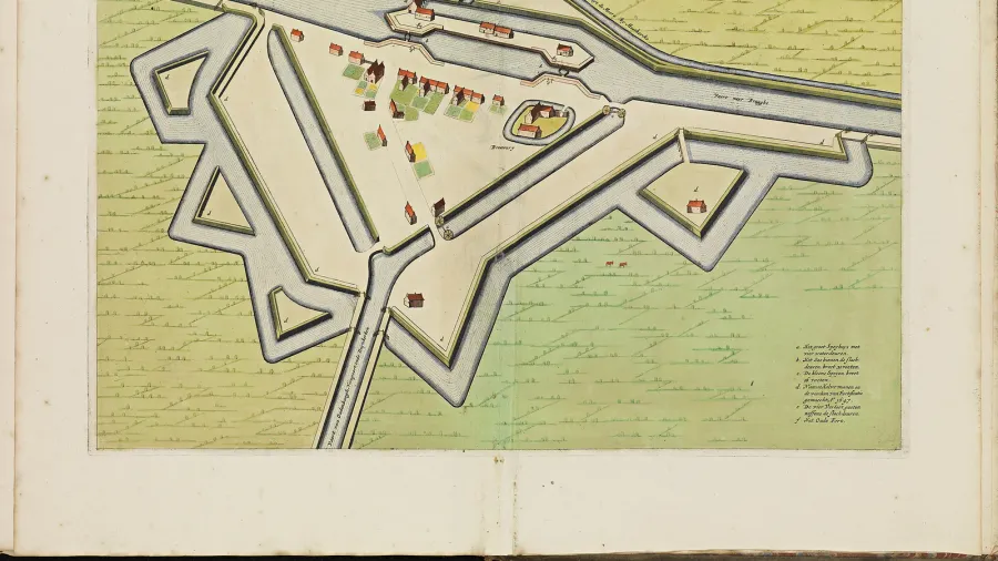
 Figure 4: Detailed view of the restored ashlar masonry and crenellated gunports, refurbished by volunteers after marine detonations damaged the walls in 1945.
Grassroots Restoration and the Modern Coastline
By the 1960s, weathered by Atlantic storms and long periods without maintenance, Fort Mahon stood in urgent need of structural conservation. The turning point arrived in 1965 when the French Ministry of Culture designated the complex an official Monument Historique. In 1967, a local physician named Dr. Jacques Méreau, supported by geologist Jean-Paul Destombes, formed the Association des Amis du Fort d’Ambleteuse and acquired the historical fortress to ensure its preservation.
Over the ensuing five decades, the association orchestrated one of France’s most dedicated citizen-led heritage preservation efforts. Working alongside historical monument architects, volunteer masons rebuilt the damaged horseshoe rampart using original stone sources, replaced weathered roof timbers, and stabilized the foundational reef. Rather than removing the twentieth-century concrete alterations, conservators preserved them as historical layers, converting the subdivided interior into educational exhibition galleries exploring the estuary’s maritime history.
Today, Fort Mahon anchors the protected dunes of the Slack estuary, managed in partnership with regional environmental body Eden 62. It stands as an enduring monument to classical coastal geometry, demonstrating how seventeenth-century hydrographic awareness and persistent community stewardship allowed an isolated sea redoubt to survive the changing tides of history.