· Borders & Frontiers · 4 min read ·
Alazani River: The Caucasian Boundary Between Empires
Carving 351 kilometers from the Greater Caucasus to Mingachevir, the Alazani River defines the geopolitical frontier between Georgia and Azerbaijan.
The high alpine ridges of the Greater Caucasus give rise to one of the most strategically significant waterways in the South Caucasus. Emerging from glacial slopes south of Mount Tebulo, the Alazani River descends rapidly through narrow gorges before spilling onto the broad, sediment-rich floor of eastern Georgia. Over its 351-kilometer journey toward the Caspian drainage basin, this hydrological artery transitions from a roaring mountain torrent into a braided lowland channel that forms the international border separating Georgia from Azerbaijan.
Unlike many rivers that cut through unpopulated wilderness, the Alazani has functioned as a populated frontier, an agricultural lifeline, and a natural defensive barrier for millennia. Its wide alluvial plain, framed by the jagged wall of the Caucasus to the north and the arid Gombori Range to the southwest, creates a distinct microclimate shielded from harsh continental winds. Here, deep soils nourished by annual seasonal flooding provided the foundation for ancient viticulture and permanent settlement long before modern borders were drawn on regional maps.
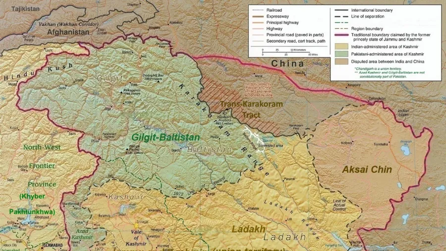
 Figure 1: Cartographic overview detailing the 351-kilometer drainage basin of the Alazani River and its role as a natural boundary between eastern Georgia and northwestern Azerbaijan.
Historical records attest to the river’s prominence in antiquity. Classical geographers Strabo and Pliny the Elder documented the waterway under the names Alazonius and Alazon, describing it as an essential geographic dividing line within Caucasian Albania. Modern historians frequently associate the Alazani with the Abas River, mentioned by the Roman biographer Plutarch and the historian Dio Cassius. According to these accounts, the river served as the theater for the Battle of the Abas in 65 BCE, where Roman legions commanded by Pompey defeated the allied forces of King Oroeses during Rome’s eastern campaigns.
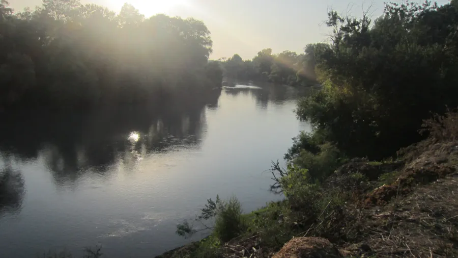
The lower course of the Alazani marks a substantial segment of the international boundary between Georgia’s Kakheti region and Azerbaijan’s Balakan, Zaqatala, and Qakh districts. In this border zone, the river drifts through broad gravel beds and dense riparian woodlands known locally as tugay forests. These riverine thickets harbor rare flora and fauna adapted to fluctuating water levels, offering a biological refuge in an increasingly cultivated landscape.
 Figure 2: The Alazani River marking the international boundary between Georgia and Azerbaijan near Samtatskaro, where seasonal shifts continually reshape the braided watercourse.
Managing an active riverine frontier presents complex territorial challenges. Dynamic hydrological cycles regularly shift the central thalweg, where seasonal spring snowmelt from high mountain tributaries causes bank erosion and sediment deposition. Consequently, bilateral boundary commissions from Tbilisi and Baku have spent decades surveying the meandering stream to maintain accurate demarcation markers while balancing agricultural water extraction and flood mitigation.
Before its confluence with the Kura River, the Alazani enters the expansive waters of the Mingachevir Reservoir in central Azerbaijan. Constructed in the mid-twentieth century, this massive reservoir submerged the historic river junction, transforming the lower terminus of the river into a crucial source of hydroelectric generation and regional irrigation networks. What began as an icy alpine brook ends its journey powering regional industry and supporting extensive lowland agriculture.
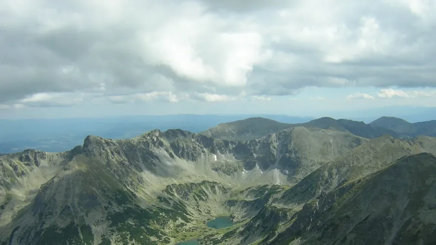
 Figure 3: Extensive view across the fertile Alazani Valley, where centuries of intensive cultivation meet the towering slopes of the Greater Caucasus.
Today, the Alazani River endures as both a geopolitical delimiter and a shared ecological lifeline. Environmental monitoring programs now track water quality and seasonal runoff across both sovereign states, reflecting a growing recognition that hydrological systems transcend diplomatic partitions. As climate variability affects glacial melt in the Caucasus, cooperative stewardship of the Alazani remains essential to preserving the delicate balance between border security, economic vitality, and ecological resilience.