
How the Medieval Piast Concept Was Weaponized to Shift Poland 200 Miles West
Conceived by right-wing nationalists, the medieval Piast Concept was co-opted by communists in 1945 to justify moving Poland's borders 200 miles west.
Welcome to the cartography thematic archive in the GeoTrivia Atlas. From physical geography to historical significance, explore verified editorial dispatches, verified fieldwork, and global landmarks classified under this topic.
Conceived by right-wing nationalists, the medieval Piast Concept was co-opted by communists in 1945 to justify moving Poland's borders 200 miles west.
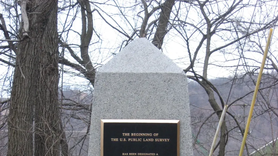
Submerged beneath the Ohio River lies the survey point that established the rectangular grid system, dividing millions of acres across the American continent.
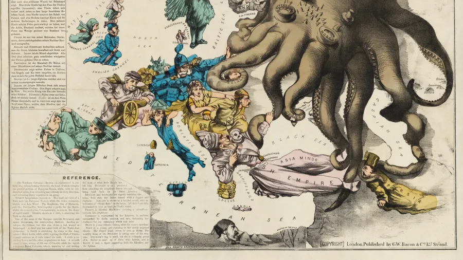
Throughout modern history, mapmakers used strategic distortions, emotive symbols, and deceptive projections to persuade minds and advance geopolitical agendas.