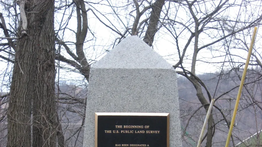
Point of Beginning: The Submerged Marker That Shaped the American Grid
Submerged beneath the Ohio River lies the survey point that established the rectangular grid system, dividing millions of acres across the American continent.
Welcome to the cadastral-surveys thematic archive in the GeoTrivia Atlas. From physical geography to historical significance, explore verified editorial dispatches, verified fieldwork, and global landmarks classified under this topic.
Submerged beneath the Ohio River lies the survey point that established the rectangular grid system, dividing millions of acres across the American continent.